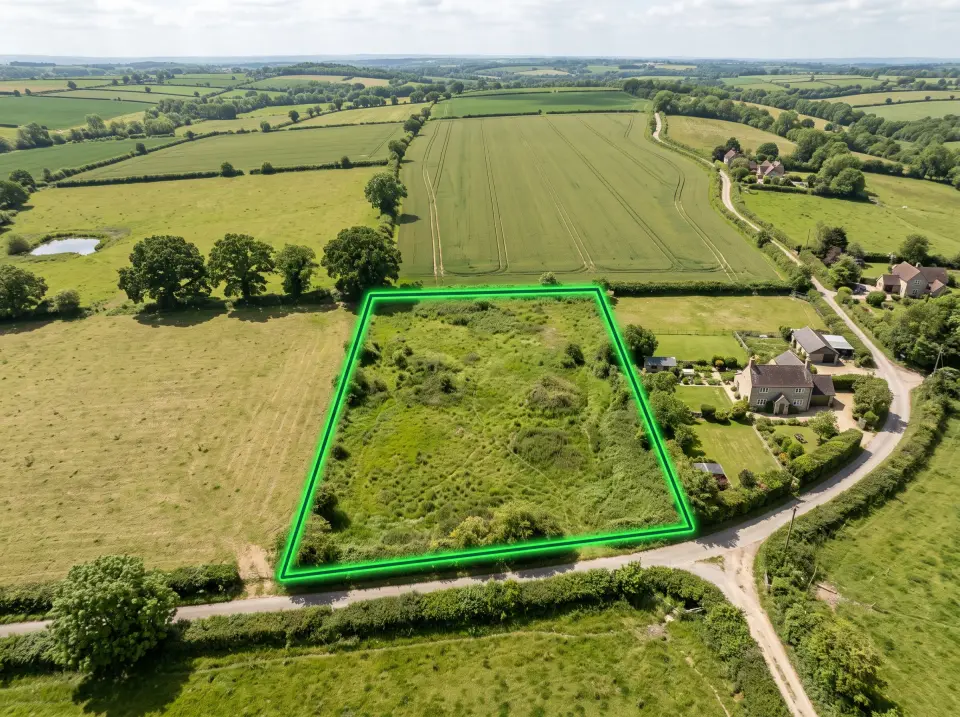
The cadastral parcel
Boundaries, area and neighbours from cadastral data.
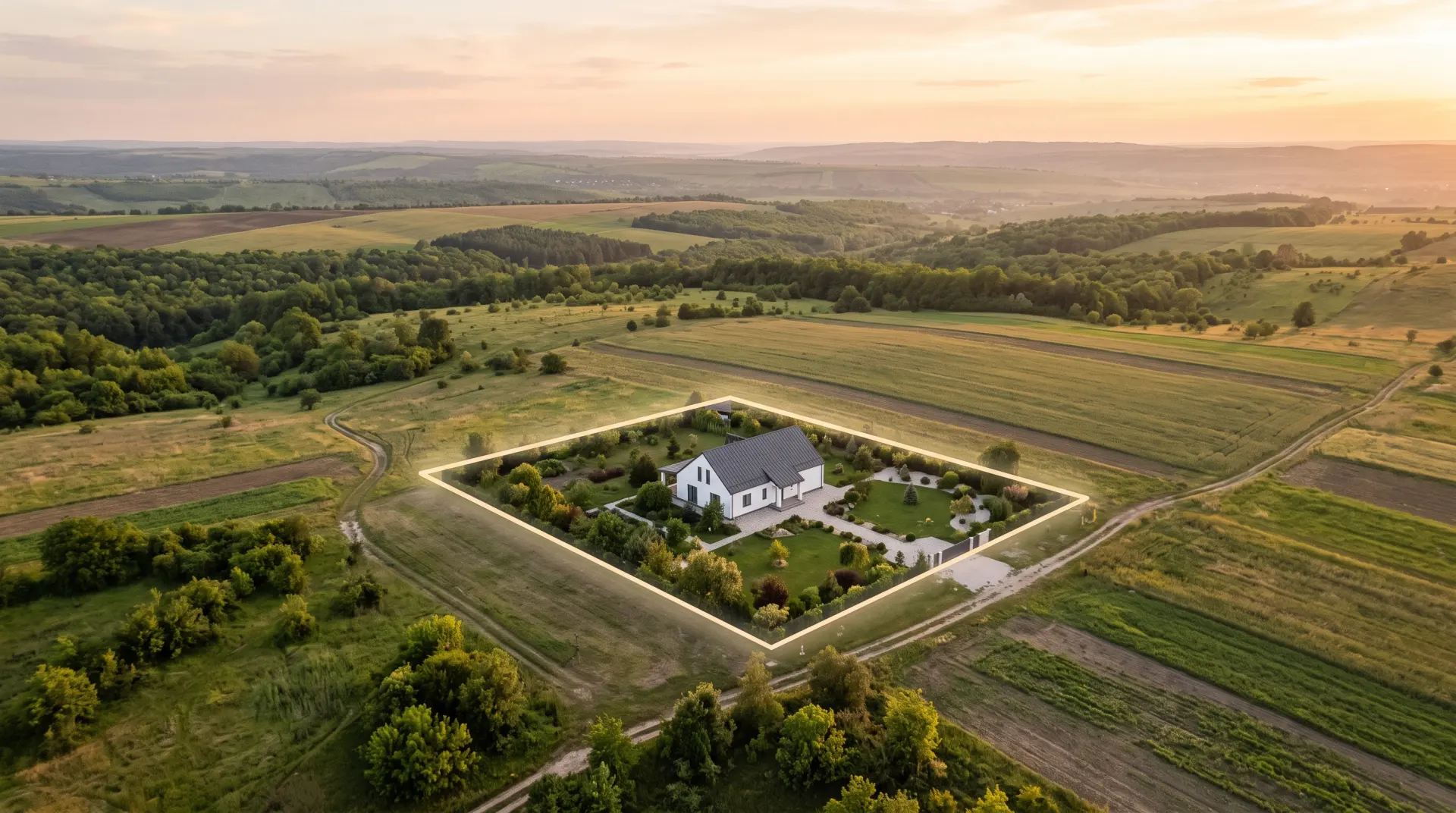
Enter the cadastral number and see the parcel, the terrain and the area where the house can sit. Then continue the project on the same land, step by step.
Free to start · No card · First result in a few minutes
Boundaries, area and neighbours from cadastral data.
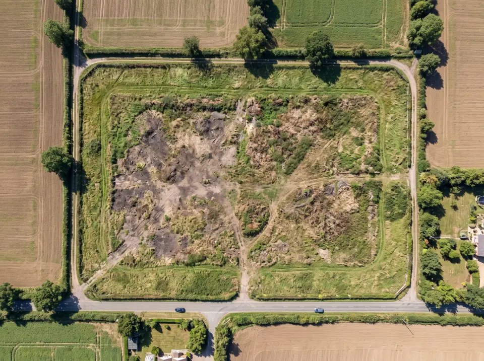
The area where the house can sit.
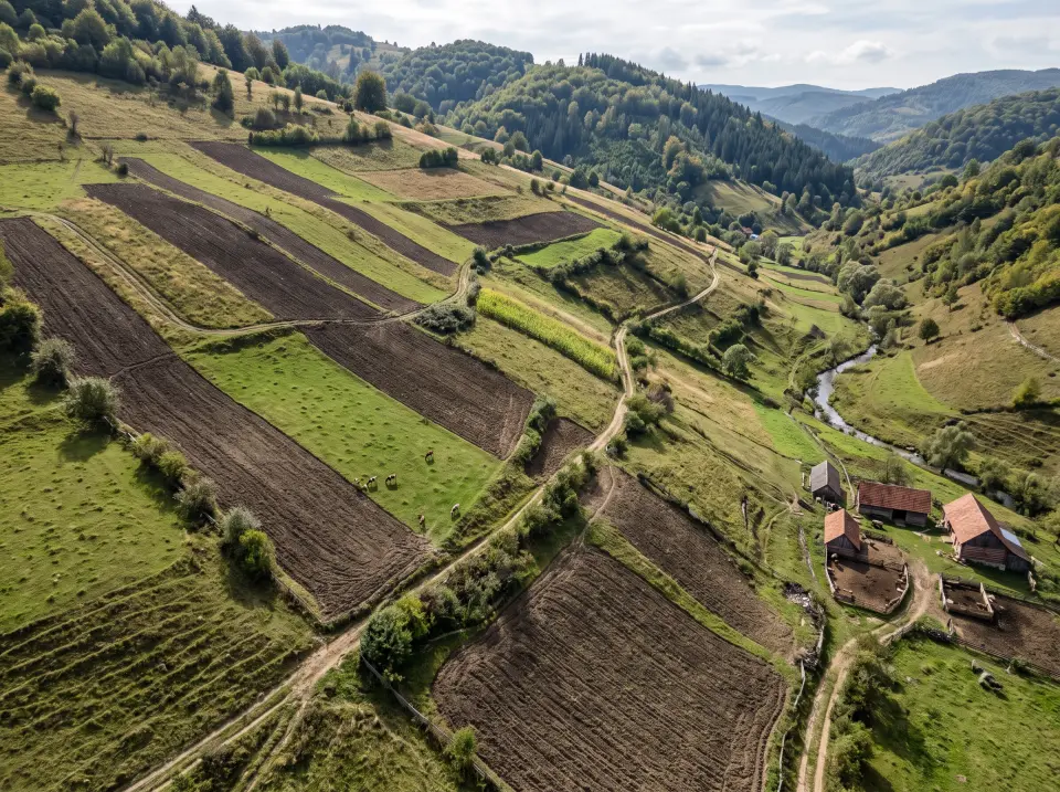
Slope, level difference and how water drains.
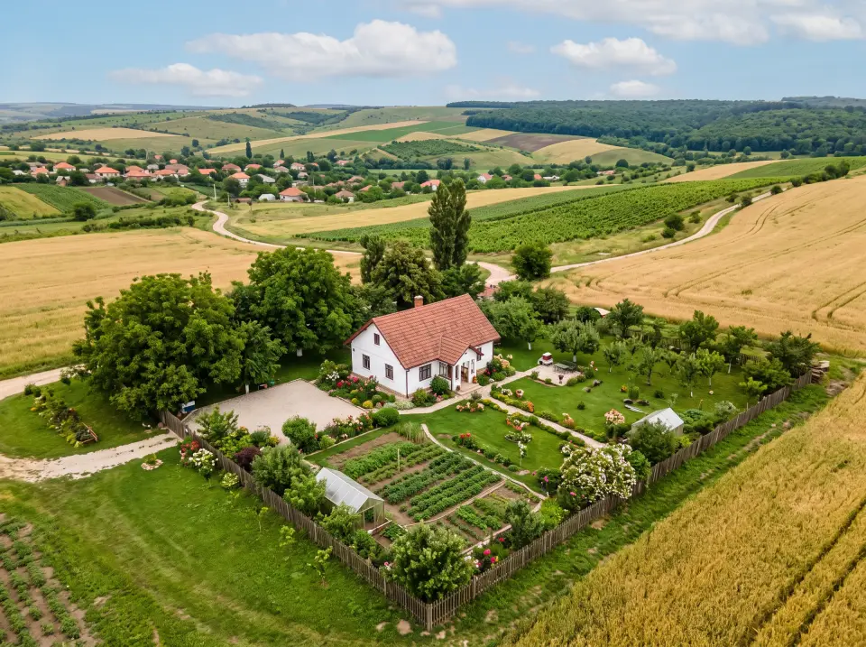
A place on the land that respects limits and terrain.
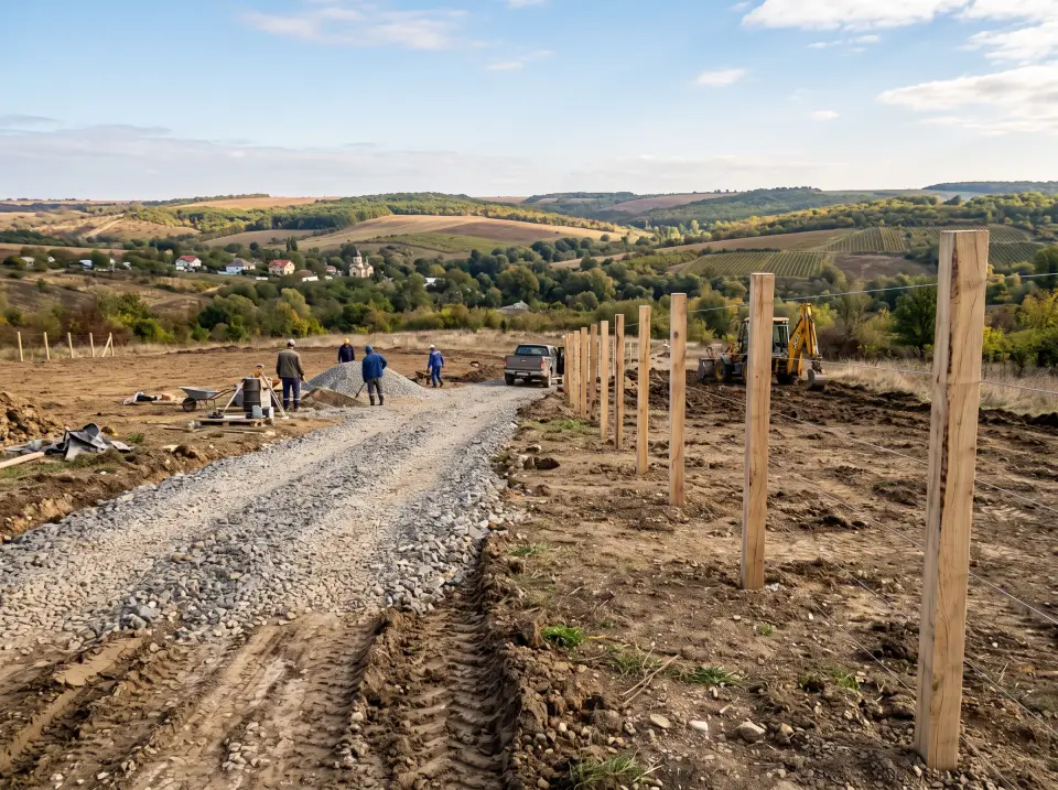
Documents, site works and partners when you need them.
You start with what is certain — the land and its limits — and you build further on real information.
Enter the cadastral number and see the parcel boundaries.
See the slope, elevation and how the land behaves.
Understand the setbacks and the area where the house can sit.
Set the house on the land and see immediately how it fits.
Build the layout and the volume of the house.
See the house in 2D and 3D and start furnishing it.
Order the services needed for the land and the site.
Ihitect helps you understand the land and prepare the next steps. Final confirmation of setbacks, building conditions and documentation is done with specialists and the competent authorities.
Topography, the placement area, then the house — on the same parcel.
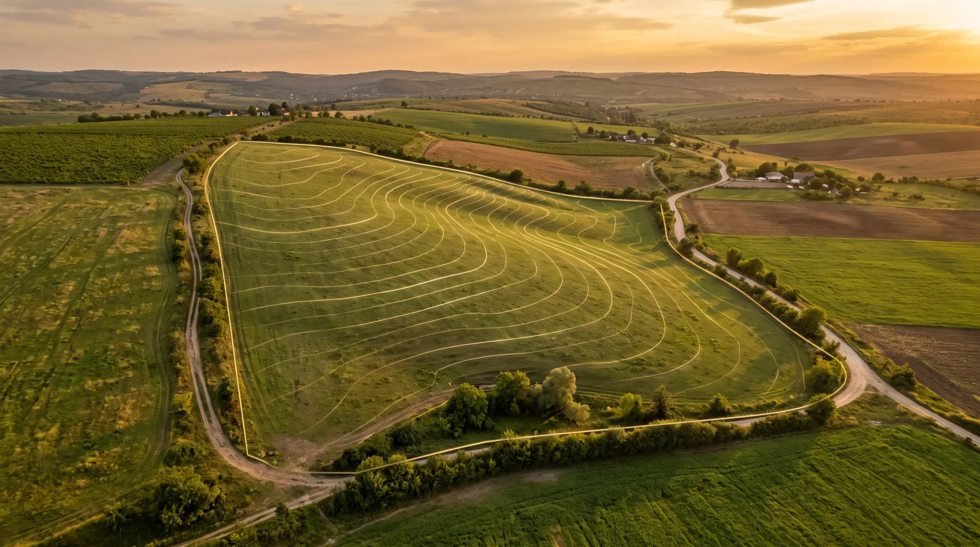
Slope and levels
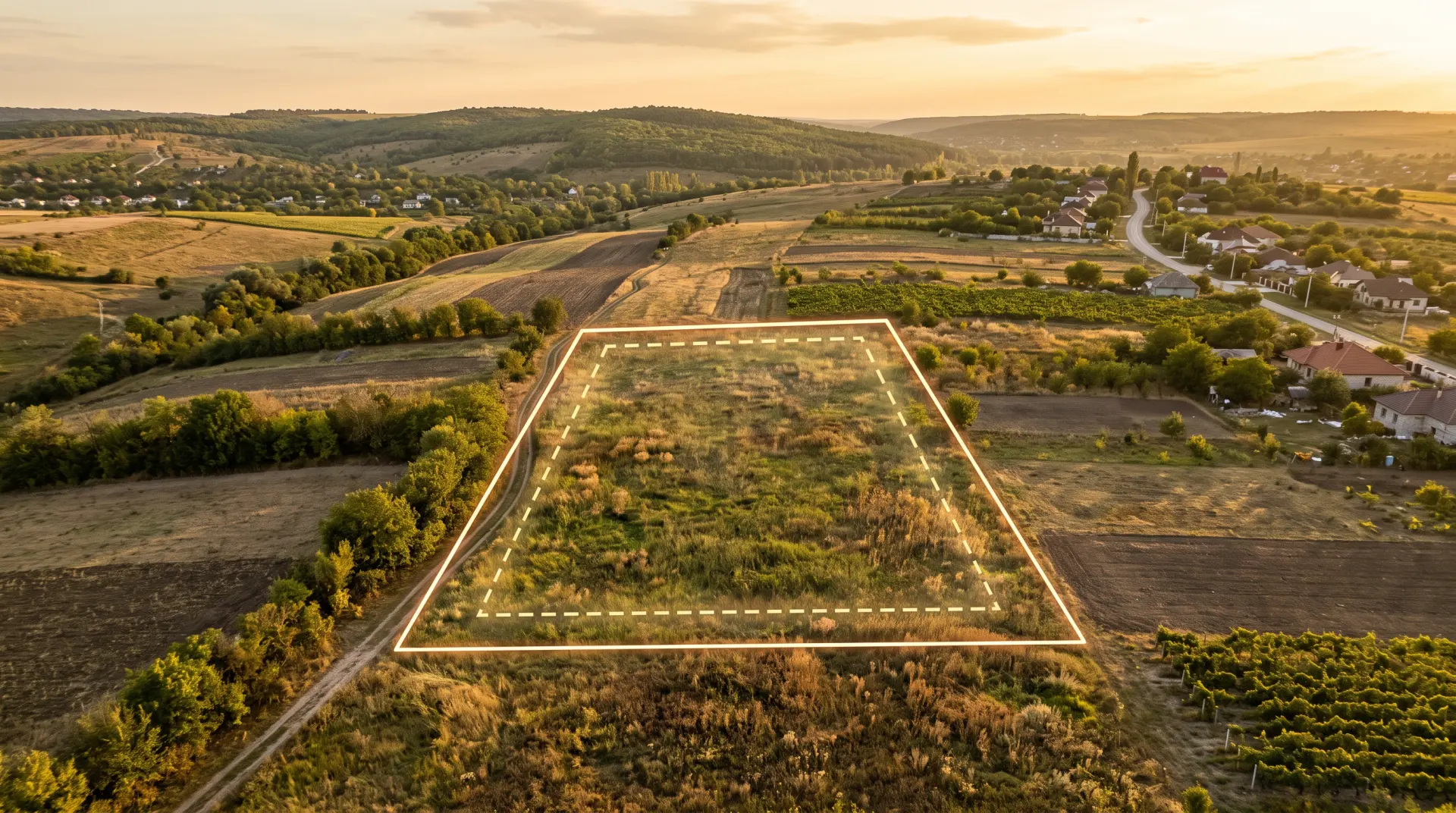
Setbacks from the boundary
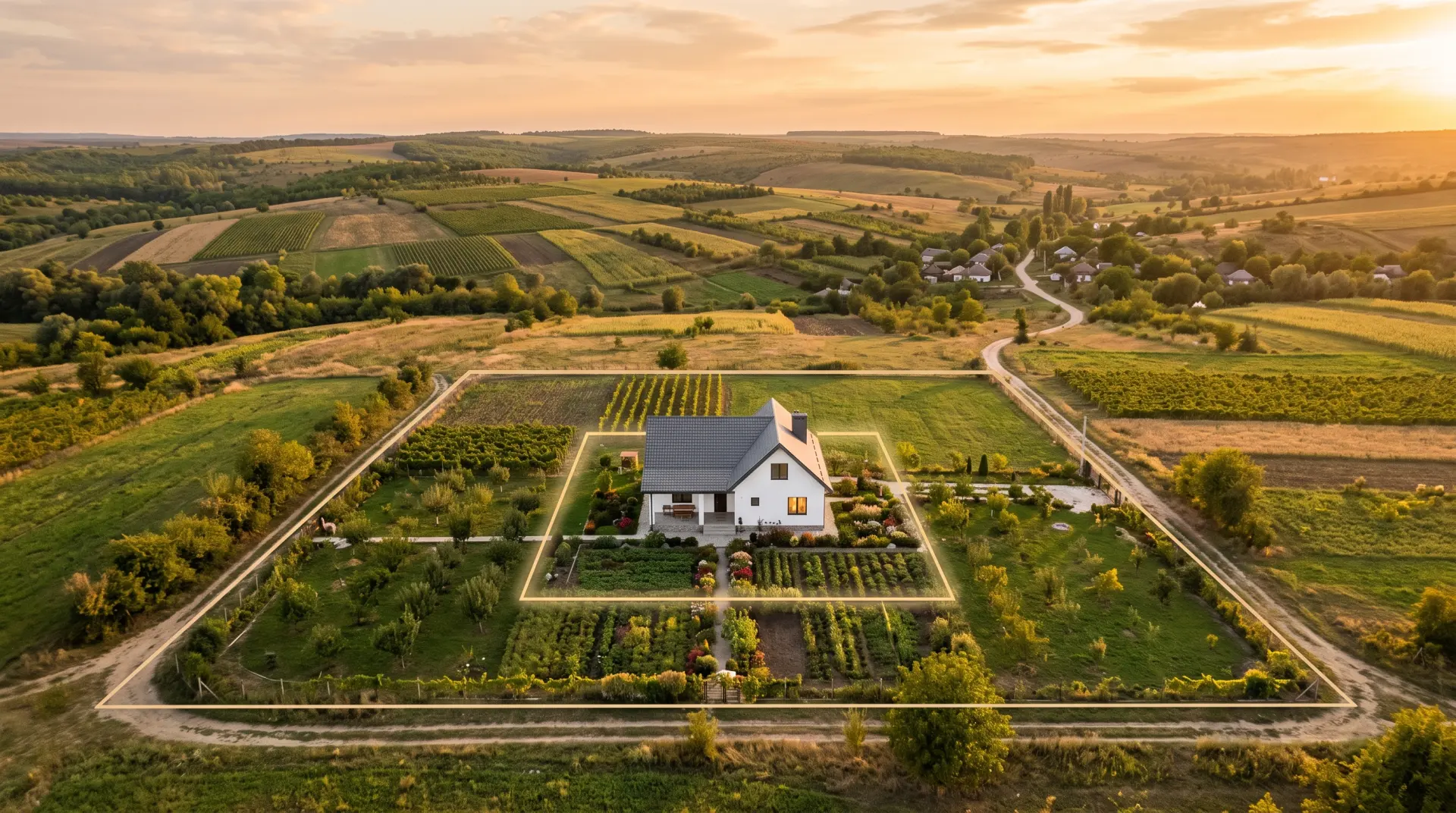
A place that fits the land
From topography and land cleaning to a fence, earthworks and an access road, see the services relevant to your parcel.
When you know what must be done, you also find who can do it — topography, cleaning, a fence, earthworks — on your parcel.
See available servicesInvite them into the same project, on the same cadastral parcel.
Become a partnerEnter the cadastral number and see what you can do with your land.